


Handheld GPS Units
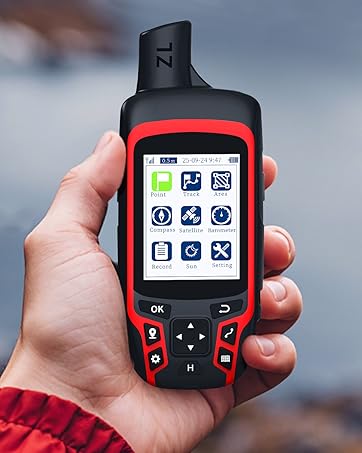
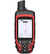
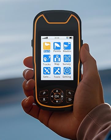
A6 Hiking GPS
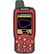
Handheld GPS Navigator
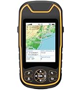
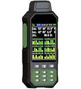
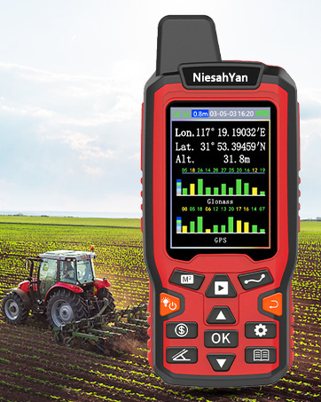
ZL-190PLUS GPS Surveying Equipment
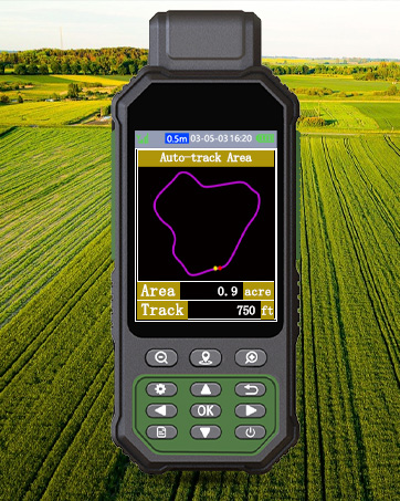
ZL180 GPS Surveying Equipment

All NiesahYan products come with 2 years after-sell service
How do we start?
Our team consists of a group of engineering professionals whose constant exploration of new technological areas ensures that our products are at the forefront of the market.
What makes our company unique?
We firmly believe that product quality is the key to our success. This is a core belief that we have always held and it permeates all our decisions and actions.
Why do we love what we do?
Providing cost-effective GPS measuring tools and handheld GPS units for consumers around the world. Just give up the complex labor-intensive tools and making people's lives easier and better!


ZL180 Operation Video
Merchant VideoPlease search satellite signals in an open outdoor area before using this device and there is no signal can be found indoors.


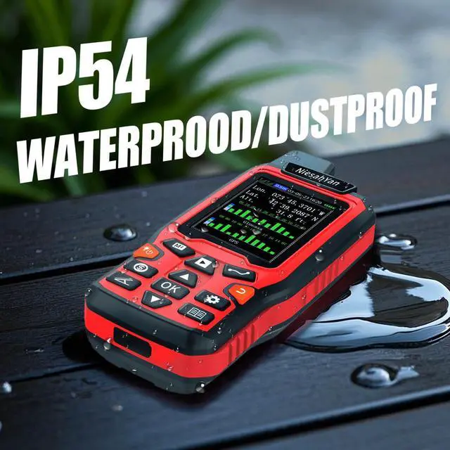
What should be caution before using this device?
1. Please search satellite signals in open outdoor area before using the device.No satellite signals can be found indoors.
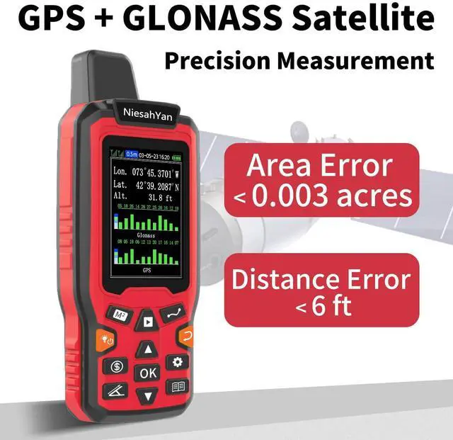
2. When the signal value in the upper left corner of the device screen is below 1 m, start measure ensure the accuracy of it.
What is the range of measurement for this device?
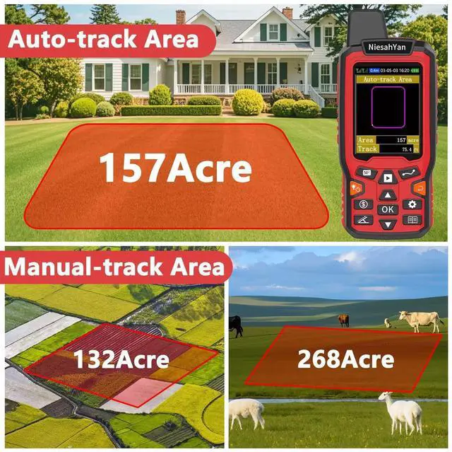
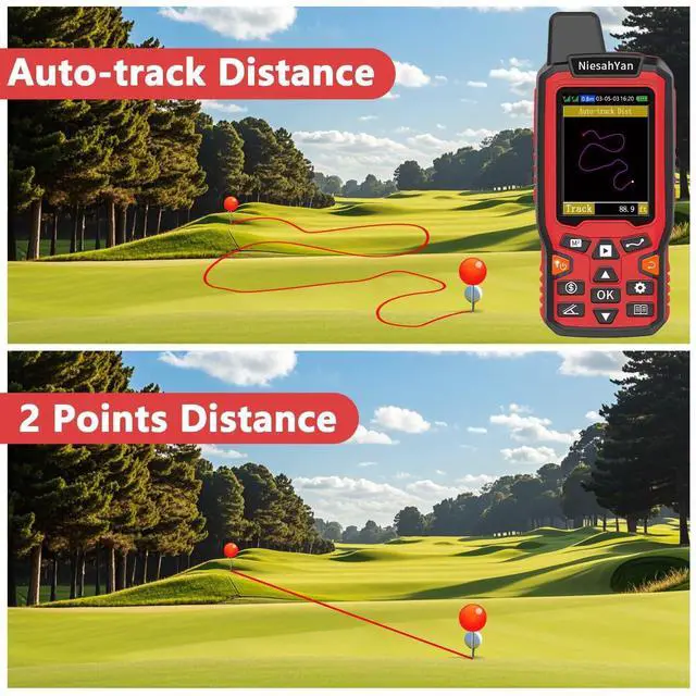
Recommended to measure Area: above 0.16 acres Distance: above 328 ft.The larger the measurement range, the smaller the error.And the precision of this device is within 6ft.
What is this device used for?
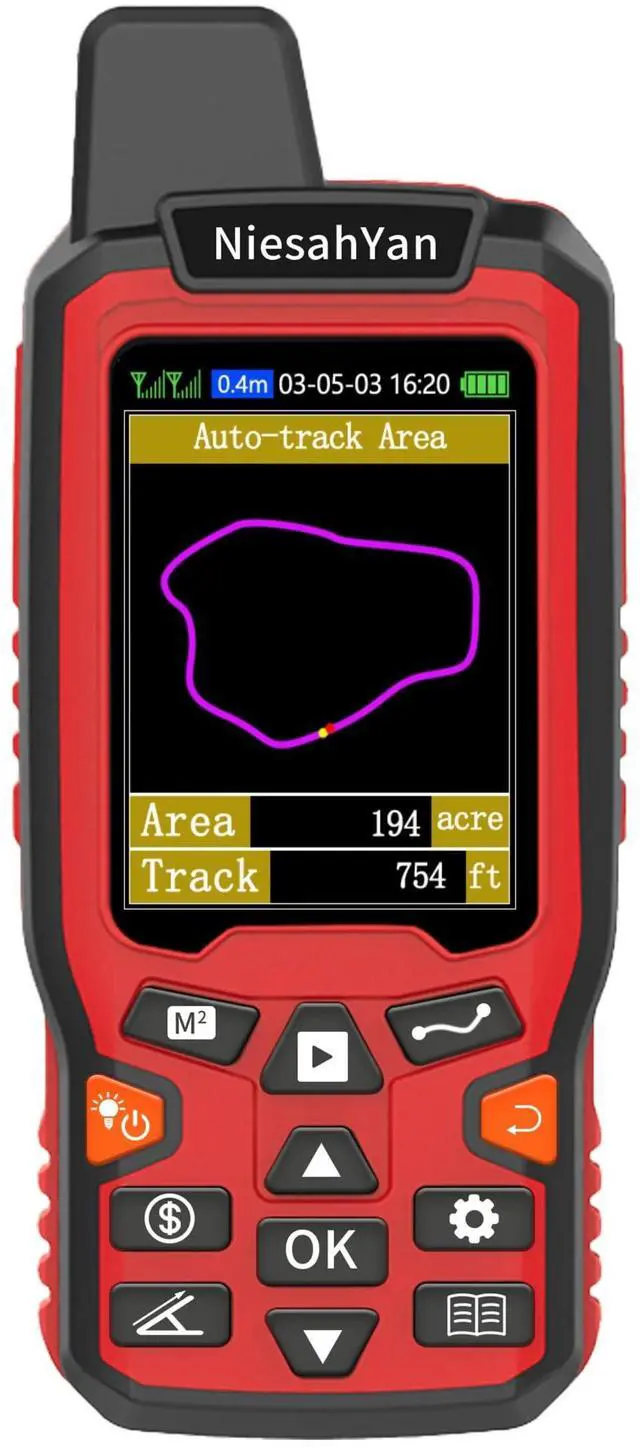
This device can only be used to measure area and distance. The latitude and longitude and altitude data displayed on the device can only be used as a reference and cannot be saved.
Is this device with maps and used for navigation?
No,This device does not have a map function and cannot for navigation.
Is the altitude displayed on the device accurate?
No,the altitude is just for reference.And the altitude data displayed on the device is GPS altitude, and it changes with Satellite Signal.This is normal.
ZL180 Operation Video
Merchant VideoPlease search satellite signals in an open outdoor area before using this device and there is no signal can be found indoors.


What should be caution before using this device?
1. Please search satellite signals in open outdoor area before using the device.No satellite signals can be found indoors.
2. When the signal value in the upper left corner of the device screen is below 1 m, start measure ensure the accuracy of it.
What is the range of measurement for this device?
Recommended to measure Area: above 0.16 acres Distance: above 328 ft.The larger the measurement range, the smaller the error.And the precision of this device is within 6ft.
What is this device used for?
This device can only be used to measure area and distance. The latitude and longitude and altitude data displayed on the device can only be used as a reference and cannot be saved.
Is this device with maps and used for navigation?
No,This device does not have a map function and cannot for navigation.
Is the altitude displayed on the device accurate?
No,the altitude is just for reference.And the altitude data displayed on the device is GPS altitude, and it changes with Satellite Signal.This is normal.
Handheld GPS Units
A6 Hiking GPS
Handheld GPS Navigator
ZL-190PLUS GPS Surveying Equipment
ZL180 GPS Surveying Equipment
All NiesahYan products come with 2 years after-sell service
How do we start?
Our team consists of a group of engineering professionals whose constant exploration of new technological areas ensures that our products are at the forefront of the market.
What makes our company unique?
We firmly believe that product quality is the key to our success. This is a core belief that we have always held and it permeates all our decisions and actions.
Why do we love what we do?
Providing cost-effective GPS measuring tools and handheld GPS units for consumers around the world. Just give up the complex labor-intensive tools and making people's lives easier and better!